
Environmental Sensing and Monitoring Using Digital Camera
RM 18.40
ISBN:
978-983-861-897-7
Categories:
General Academics
File Size
2.65 MB
Format
epub
Language
English
Release Year
2015
Favorite (0)
Synopsis
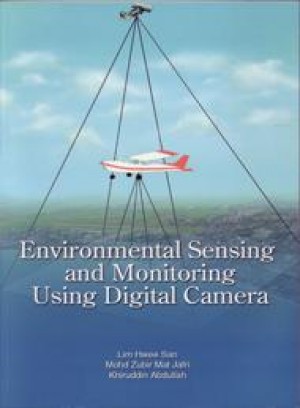
This monograph is the outcome of 15 years experience of working with satellite images with the funding from IRPA RM7, ESCAP NASDA, Science Fund and several short term grants. It introduces a new methodology and algorithms for water and air quality monitoring by using conventional digital camera as a sensor to provide multi-spectral remote sensing data. The image is either captured by a digital camera mounted in an unman aircraft vehicle (UAV) or directly captured from a light air-craft. New algorithms were developed to correlate the pollutant concentration with the digital images. The algorithms can also generate a map of the pollutant concentration of the studied area. Pollutant information is very important for survey information, tourism information, development assessment, coastal preservation and area development planning.
This new methodology allows images to be captured below the cloud level. Thus, with this method and the algorithms, cloud cover problem of satellite and airborne images can be overcome. They also overcome the problems of time, money, and resources wasted in collecting in-situ data for algorithm calibration of cloud cover satellite images.
Furthermore, they provide real-time, high accuracy information.